| IT | DE |
| IT | DE |

From Lagazuoi Refuge to the Valparola Pass

Medium-easy itinerary to the Valparola Pass

From the Lagazuoi Refuge, hike downhill to the Lagazuoi saddle on the CAI path no. 401 through the WW1 Open-air Museum. In the last stretch of the path to the Lagazuoi saddle, you must keep left to get to the ski slope. When you reach the Forcella Lagazuoi saddle, take the CAI path no. 20, continue straight at the first fork, turn left after about 400 m and follow the signpost 20/A. From the start, you have covered about 1 Km in 50/60 minutes.
Then you hike adjacent to the Armentarola slope through the Lagaciò Valley. This stretch offers a stunning view of the peaks of the Piccolo Lagazuoi on the left, on the right there is an impressive rock wall formed by the concatenation of the Grande Lagazuoi with the Cadini di Fanes and Cima Scotoni. Halfway you cross the municipal boundary between Cortina and San Cassiano, leave the Natural Park of the Ampezzo Dolomites and hike through a section of the Fanes-Sennes-Prags Nature Park. Then the path intersects the Armentarola slope, which you follow for a while. Please note: when the ski slope becomes steeper and turns right, you must take the path that leads straight ahead. Then, hiking down to the Forcella Selares saddle, another great panoramic view of the Badia Valley opens up. At the fork of the paths 20-20A, take no. 20A to the Valparola Pass on the left. From the start, you have covered approx 3,5 km with a negative difference in height of 450 m. in 2/2,10 hours.
From the Forcella Selares saddle, on the right, you can admire the wide valley Le Gran Plan di Fanes framed by the Piz da Lech and the Piz Dles Conturines. From there, a beautiful path zigzags through a narrow and steep valley, opposite there are the Valparola Pass and the homonymous mountain refuge. Once you reach the pass and the refuge, you have covered 5.3 km with a negative difference in altitude of 560 m and a positive difference in altitude of 40 m in 3.10 / 3.20 hours.
The hike ends here. Return to the Falzarego Pass by bus. Please note: you must inquire about the timetables in advance.

TECHNICAL DETAILS

Difficulty
medium the first stretch, than easy

Departure point
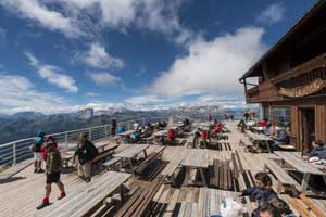
mountain hut Rifugio Lagazuoi

Arrival point
Valparola Pass, Armentarola Pass

Total duration
3 h

Path number
401-20-20A

Total difference in altitude
546 m

Altitude at starting point
2752 m

Altitude at arrival
2200 m

Access
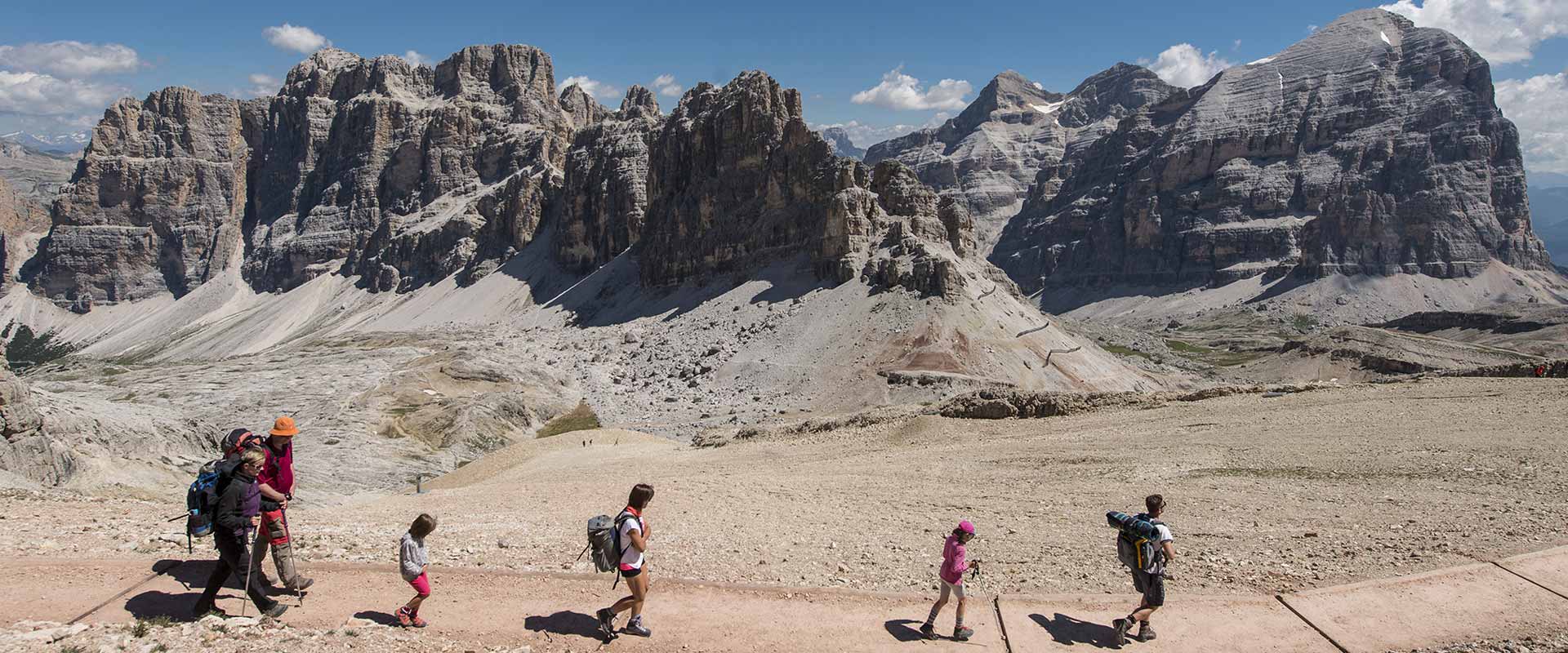
Lagazuoi Refuge, the start of the excursion, can be reached from the Falzarego pass (2105 m), where there is a large parking lot, with the Lagazuoi cable car or hiking for approx 2 hours on the Frontline Trail. At the beginning of the summer season, there can still be snow on the route, so it is necessary to be well equipped and ask for information about the tour conditions in advance.

Return
The return from Valparola to the parking lot of the Lagazuoi cable car at the Falzarego Pass - 2.5 km with 95 m negative difference in height - takes about 60 minutes: follow the CAI no. 424 path that runs parallel to the provincial road of Valparola Pass No. 24, passing next to the WW1 museum Tre Sassi Fort.