 Fabio Bernardi
Mountain guides Gruppo Guide Alpine Cortina d'Ampezzo
info@guidecortina.com -
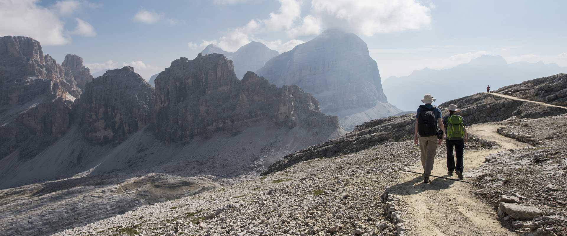
https://www.guidecortina.com/ A beautiful hike that will take you to the most stunning panoramic points with a 360 degree view of the most famous peaks of the Dolomites with their pinnacles, towers and the dark nuances of volcanic layers covered by green meadows.
Due to the positive difference in height, this route is suitable for trained hikers. However, it is simple in terms of technical abilities.
Recommended equipment: trekking boots, backpack, water, snacks, a change of clothes, a rain jacket and a first aid kit.
It is important to check the weather forecast as the path leads up to 2778 m of altitude.
Good way!
The hike starts in Capanna Alpina on the trail no. 20 on a flat path that suddenly becomes steep. After 2 km, at the Scotoni hut, go to the left and proceed on the trail no. 20 which allows an easy ascent up to the highest point of this valley in narrow hairpin bends. Here a wide horizon opens up, both in the direction of Lagazuoi with the peaks of the Fanis group as well as in the direction of Val Badia.
If you turn left on this beautiful plateau, you reach immediately the lake Lech de Lagaciò, a small water basin in a charming setting.
Then return to the path no. 20, which runs on an old Austrian military road of the First World War. Along the way you will encounter many remains of military emplacements, more and more, the closer you get to the former border Forcella Lagazuoi.
From the saddle Forcella Lagazuoi, follow the easy trail 401 that leads through the Open-air Museum of the First World War of Mt. Lagazuoi with a series of twists and curves.
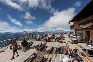
In the last part of the route, before reaching the mountain hut Rifugio Lagazuoi, you can visit the tunnels dug by the Austrian soldiers.
Once you reach the Lagazuoi refuge, continue for a few minutes on a path which is even accessible to disabled people. This path leads to the summit cross of the Little Lagazuoi, at 2778 m of altitude.
TECHNICAL DETAILS
Departure point
Capanna Alpina (Armentarola)
Arrival point
Mt. Lagazuoi
Total duration
4 h
Path number
20 - 401
Total difference in altitude
1048 m
Altitude at starting point
1730 m
Altitude at arrival
2778 m
Access
The hike starts at the mountain hut Capanna Alpina at an altitude of 1730 m and extends over a distance of 6.5 km with a gain in elevation of 1048 m. Without breaks, the summit cross of Mt. Lagazuoi, which stands at an altitude of 2778 m, can be reached in about 4 hours.
Return
Return by cable car to the Falzarego pass (2195 m) and then by car or by bus to Armentarola.
You can also hike this tour in the opposite direction.


 Fabio Bernardi