TECHNICAL DETAILS
Difficulty
K1/A
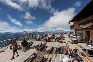
Departure point
Valparola pass, parking lot next to the Tre Sassi Fort, road SP24
Arrival point
Valparola pass, parking lot next to the Tre Sassi Fort, road SP24
Total duration
3,25 h
Total difference in altitude
610 m
Vertical drop on the ferrata
280 m
Minimum altitude
2.168 m
Maximum altitude
2.778 m
Access
You can reach the starting point, Valparola Pass, from Cortina d'Ampezzo, Arabba or Badia by car or public means of transport.
Approach
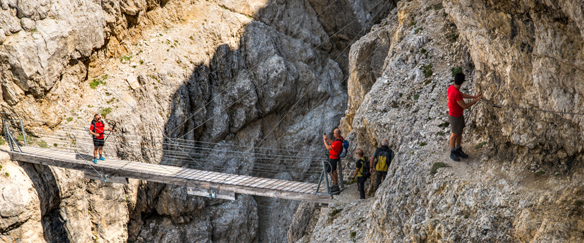
In front of the Tre Sassi Fort follow the path to the right leading upwards. The path reaches the Austro-Hungarian trench, which runs parallel to the Valparola pass road and was built to stop the breakthrough attempts of the Italian army. After the trench, continue to the left on a zigzag path that leads upwards on the slope and over a scree to the suspended bridge and to the access of the equipped path.
Return
You can descend by cable car, on the Frontline Trail (no. 401-402) or along the path through the Anticima-Tunnel on the fore-summit. This path starts besides the top station of the cable car, winds though the Austrian trenches and takes you to the entrance of the Italian tunnel which runs through the fore-summit. You get out of the tunnel next to the Malvezzi emplacement and from here you reach the Falzarego pass on path no. 402. Before the Falzarego pass, take the path on the right that leads to the Vonbank emplacement and from here to the Valparola pass.
Peak
Piccolo Lagazuoi
Orientation
south west and south